
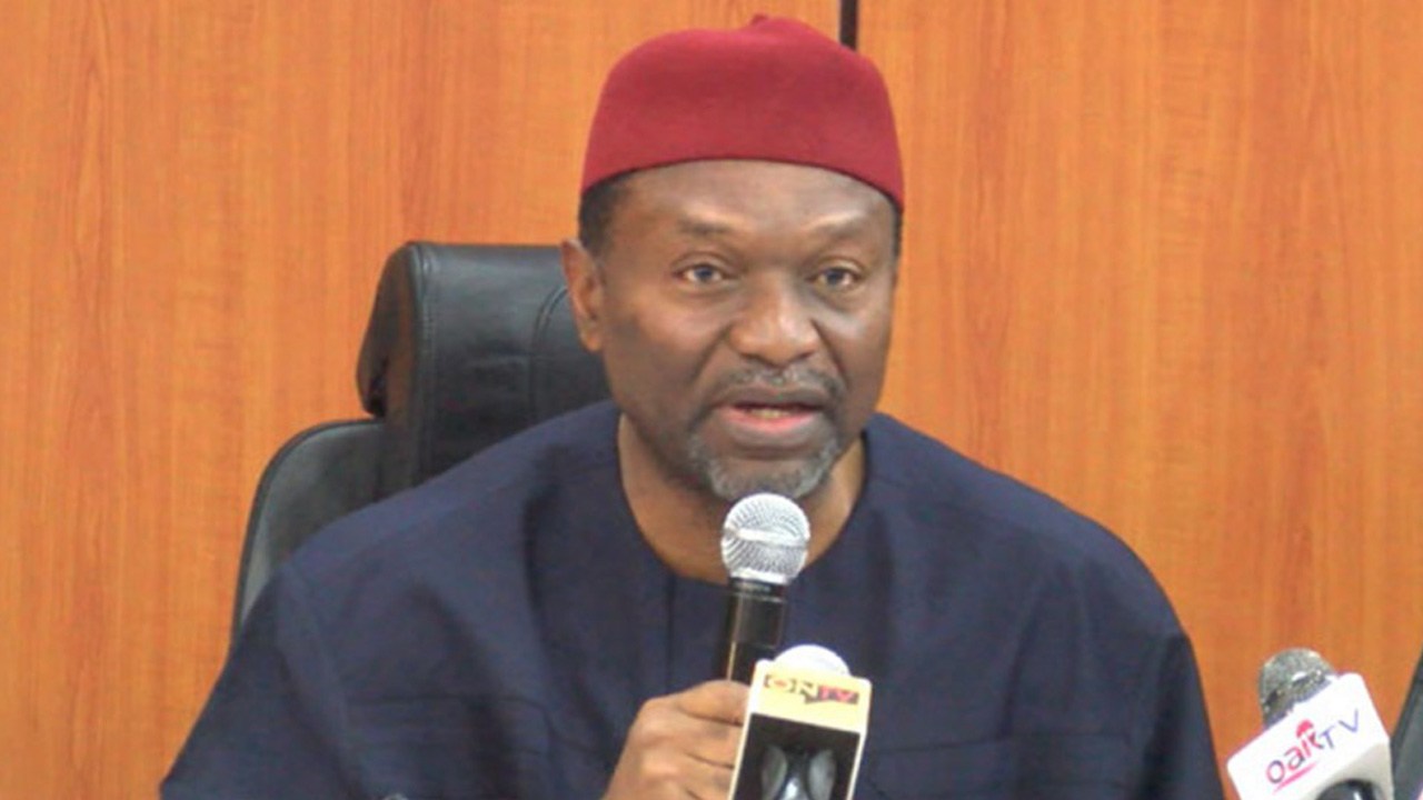
The Minister of Budget and National Planning, Senator Udoma Udo Udoma, on Tuesday emphasised the potential of evidence-based decision-making and the power of geospatial data in providing solutions to developmental problems.
He therefore called on agencies whose focus are on geospatial data generation and mapping to help generate data that can help both Government and the private sector in planning more accurately based on established data.
That, he said, would further help in economic development and help government to achieve the objectives of the Economic Recovery and Growth Plan (ERGP).
Senator Udoma in his remarks at the opening of a two-day workshop on Geo-Referenced Infrastructure and Data for Development (the GRID3) Use Case, in Abuja, said the potentials of geospatial data and technology applications became evident in Nigeria when it was first used for polio vaccination efforts through the GRID3 Project.
According to him, after an upsurge in polio cases in 2011, geospatial vaccination tracking efforts were put in place, which provided updated settlement maps, population data, and health ward boundaries.
“The data collected was integrated into a Vaccine Tracking System that allowed vaccinators to reach every settlement. As a result, polio cases dropped to zero by 2015. This example is a demonstration of the potential of evidence-based decision making and the power of geospatial data in providing solutions to development problems,” he said.
Following that success, according to him, it became obvious that geospatial data could also be useful in other areas of government concerns such as health, education, agriculture, water resources and infrastructural development.
The Minister said in order to develop that further, the Ministry of Budget and National Planning, working in collaboration with relevant development partners, established the Nigeria GRID3 secretariat and initiated consultations with stakeholders.
He recalled that in 2017 President Muhammadu Buhari launched the ERGP as a means of taking Nigeria out of recession and placing it back, not just on the path of growth, but a growth that was diversified, inclusive and sustainable.
“So, what the ERGP seeks to achieve is sustainable development. Apart from restoring growth, the ERGP commits the country to the objective of investing in our people and building a globally competitive economy. This requires that the capacity of government be continuously enhanced and improved,” Udoma stated.
The ERGP, he pointed out, recognised that laying the foundations for long term development required a dynamic, agile private sector that could innovate and respond to global opportunities.
Udoma said it was aimed at tackling the obstacles hindering the competitiveness of Nigeria, one of which was clearly the dearth of data in a timely and comprehensive manner.
He stated that he was of the view that Government and donor intervention could be critical in providing services that were either common or which the private sector would not find commercially viable to provide.
That was why, he said, such agencies as the National Bureau of Statistics (NBS), under his Ministry, was playing a major role in supplying economic data.
“Geospatial data is a specialised area which requires unique expertise. And that is the importance of the GRID3 Project,” he added.
While acknowledging the contributions of development partners in the process of seeking better ways to tackle development challenges, he noted also that those assembled in workshop were the key stakeholders required to examine how GRID3 could effectively be deployed to support Nigeria’s development.
The funding partners include: the Bill and Melinda Gates Foundation and the UK Department for International Development, and the implementing partners are WorldPop/Flowminder, the United Nations Population Fund and Columbia University’s Center for International Earth Science Information Network.
This workshop was designed to develop tools and applications that will aid our MDAs leverage on Geo-referenced data to effectively utilize Nigeria’s resources to deliver economic development; develop modalities that ensure effective collection, storage, retrieval and analysis of the data as a timely input for Government policies and decisions; ensure that the right stakeholders including Academicians, CSOs and Private sector have timely access to appropriate data, to aid collective participation in National development; and finally develop a strategy to build the Capacity of various levels of government to effectively collect and use geo-referenced data for the development of various sectors and society.
Among those at the workshop were Dr John Primrose, Head of Department UK-DFID, Nigeria; Dr Paul Basinga, Bill and Melinda Gates Foundation; Mr Keith Garreff, Lead geospatial Operational Support Team from the World Bank; Dr Lorant Czaran, Lead, GRID 3 Project; Prof. Olajide Kuforiji, Surveying and Geo-Informatics Programme Director of OAU and representatives several related government institutions.